
Roseville ZIP Code Directory Coverage
Roseville's principal postal ZIP is 48066. The reviewed USPS and city-location sources identify it for Roseville addresses and civic facilities. The evidence did not identify a second ZIP serving an incorporated Roseville street address. Nearby codes are useful border context, not evidence that they serve a Roseville address. Start with 48066, then end each specific-address question with an address-level USPS check.
| ZIP | Area in this Roseville review | Post office or station | Boundary note |
|---|---|---|---|
| 48066 | Roseville city addresses, subject to address-by-address delivery verification | Roseville Post Office, 30550 Gratiot Ave. | Principal Roseville ZIP; delivery geography is not a city-boundary test. |
| 48081 / 48082 | Saint Clair Shores-area context adjacent to Roseville | Saint Clair Shores USPS location listed on the Roseville USPS page | Not identified as serving a Roseville street address in the sources reviewed. |
| 48026 | Fraser-area postal context | Station detail was not documented in the reviewed Roseville source | Not identified as Roseville coverage; use as geographic comparison only. |
| 48088 / 48089 | Warren-area postal context | Post-office detail was not located in the reviewed sources | Not identified as Roseville coverage; verify a border address with USPS. |
The Roseville Post Office listing associates 30550 Gratiot Avenue with Roseville, MI 48066-9998. The city also places City Hall, Police, the 39th District Court, Fire, Public Services, the library, and recreation or senior facilities in 48066. Those civic locations provide helpful landmarks, but a postal result still applies to the supplied delivery address rather than the whole municipal map.
Roseville 48066 Postal Geography
Several geographic systems overlap in Roseville. The city boundary controls municipal services, elections, and ordinances. Macomb County boundaries identify county offices, courts, deeds, and vital-record custody. A ZIP delivery area is a USPS routing system, while a census ZCTA is a statistical approximation. An E911 point helps dispatch mapping, and a parcel boundary follows a tax identifier and legal description. They can describe the same place differently.
The USPS Roseville location listing identifies the local post office, while the city locations page identifies municipal facilities. Use those sources for their stated roles. For an address that lies near a line, USPS resolves delivery format and the Macomb parcel map resolves the selected geographic layer.
Michigan's static ZIP map places 48066 in the Roseville area, with 48081 and 48082 around Saint Clair Shores, 48026 around Fraser, and nearby Warren and Eastpointe-area codes. It supplies regional context only. A static map cannot decide the delivery code for one doorstep, and it does not replace the parcel, E911, or municipal boundary layers used in a records question.
Boundary check. A Roseville mailing label does not by itself establish city jurisdiction, parcel location, or the custodian responsible for a public record.
Roseville ZIP Search Tools
Local property systems are keyed to addresses, names, or parcels rather than a documented ZIP-wide resident search. The City of Roseville assessor directs users to municipal services and explains assessment and parcel-related work. The BS&A landing lists address, name, and parcel-number search among its services, but its detailed live fields, coverage dates, export behavior, and result rules were not stable in the official inspection. Treat the municipal search as an address or parcel tool, not a postal roster.
The Roseville Assessor page explains the local assessment office's scope and links the municipal property-search route.
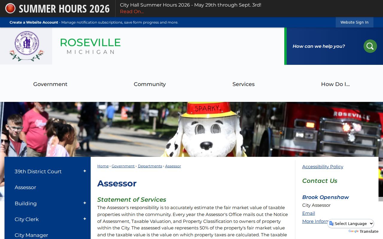
The assessment material helps interpret a property record, but an assessed or taxable value entry does not identify an occupant. Use the full parcel and legal-description trail when the question is about land records.
The Roseville BS&A Online landing page displays the city connection for address, name, and parcel services.
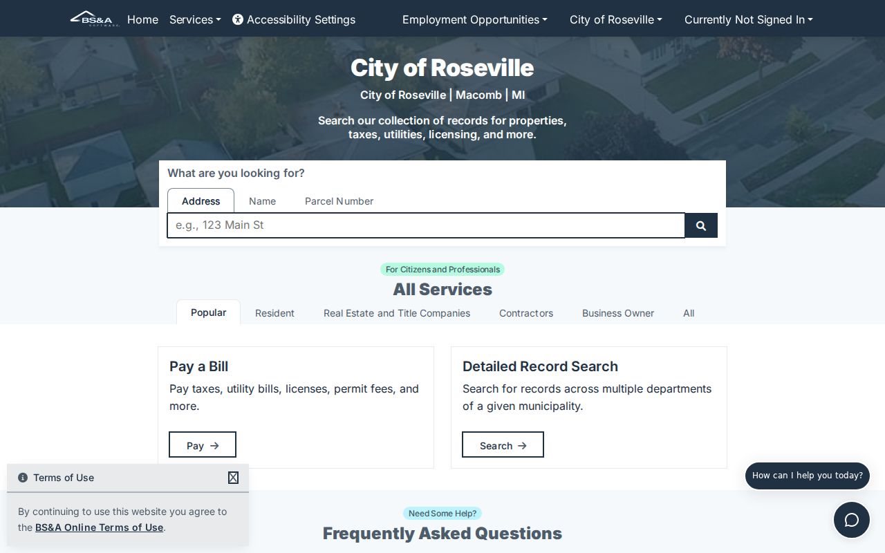
Because the documented landing page does not show a ZIP field, verify the delivery ZIP separately and use the municipal address, name, or parcel route that matches the record question.
The same distinction applies to election records. MVIC is an individual status and polling-place tool, not a ZIP roster. A formal Michigan Qualified Voter File request can be set for a jurisdiction, district, school, ward, or precinct, and the returned public fields remain limited by law. A Roseville request therefore follows the election geography stated on the form, not a postal shortcut.
Finding Roseville ZIP Residents
A postal code can narrow an address inquiry, but it is not a documented way to retrieve a citywide list of residents. The practical route is address first, parcel second, then the custodian that owns the needed record. Macomb GIS has address, community, tax-ID, and intersection tools, while the city property services list address, name, and parcel search. Michigan's voter systems also do not document a public ZIP-wide roster search.
- Enter the full delivery address in the USPS tool to confirm its standardized ZIP and preferred city-state format.
- Use that address in Roseville BS&A or Macomb GIS, saving the parcel identifier, map date, and legal description if the record is public.
- For a land-record question, carry the parcel or legal description to the Register of Deeds instead of relying on the postal label.
- For an election-administration question, use the documented QVF jurisdiction or precinct request route. Do not treat it as a ZIP filter or occupancy proof.
Once a postal area is narrowed to a particular road, the Roseville street directory provides the separate address-by-address workflow. Postal geography is only the first sort, not the evidence trail.
USPS Roseville Address Checks
USPS provides the definitive delivery-format check. Its ZIP lookup has By Address, By City and State, and Cities by ZIP tabs. The By Address form accepts an optional company field, street address, optional apartment or suite information, city, state, and an optional ZIP. A completed request returns standardized delivery output. It is a tool for a supplied address, not a person or property search.
| USPS control | Inputs documented in the official tool | Use in a Roseville search |
|---|---|---|
| By Address | Company optional; street; apartment or suite optional; city; state; ZIP optional | Checks the standardized delivery ZIP for one supplied address. |
| By City and State | City and state | Finds postal choices associated with the supplied locality. |
| Cities by ZIP | ZIP | Shows city labels associated with a supplied postal code. |
The USPS ZIP lookup offers the official address, city-state, and cities-by-ZIP controls.
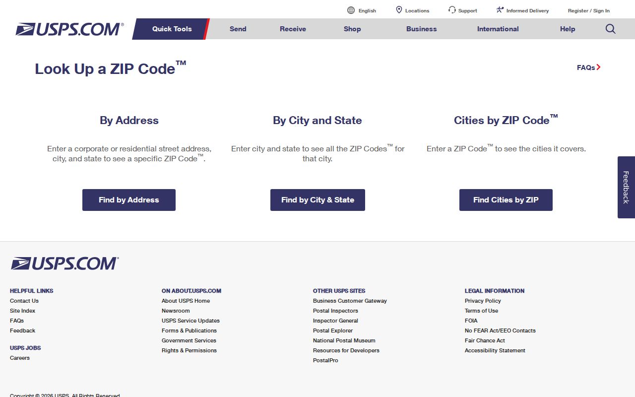
Use the returned format as a mailing check. It should never be used to infer who receives mail at an address or to replace the city and parcel sources for jurisdiction.
Roseville GIS Boundary Checks
Macomb GIS Parcel Explorer does not document a ZIP field. Its useful routes are intersection, tax ID, property address with a community selection, and all-known-address search. The property-address tool accepts full or partial address; the guide recommends omitting suffixes such as RD, DR, AVE, BLVD, and CT where possible. A valid community choice narrows the search. That behavior is better for locating a parcel than guessing a delivery boundary from a road name.
The GIS guide also documents identify, buffer, measure, print, and map-image functions. A selected result can zoom to a parcel and map output can preserve a dated PDF or image. The viewer is not the certified land record, and its guide does not state owner-field publication or historical layer retention. Use the assessor or Register of Deeds for the ownership or recording question that follows.
Note: Preserve the map date, selected layer, parcel ID, and scale whenever a GIS map is used to support a Roseville boundary conclusion.
Roseville ZIP City Limits
ZIP boundaries and Roseville city limits do not serve the same purpose. USPS warns that a delivery area and its city label may not align, and the state static ZIP map shows 48066 amid adjacent Saint Clair Shores, Fraser, Warren, and Eastpointe-area postal geography. The reviewed local sources do not support a claim that every 48066 address lies inside Roseville, or that every Roseville parcel must carry the same postal label. Check the individual address with USPS and then inspect the city or county map for municipal and parcel geography.
- ZIP versus ZIP+4
- The five-digit ZIP directs broad delivery routing. ZIP+4 adds a more specific delivery segment for the supplied address.
- PO-box ZIP
- A postal code used for post-office boxes rather than proof of a street-delivery area. No Roseville PO-box-only ZIP was identified in the reviewed sources.
- Unique ZIP
- A code assigned to a particular organization or destination. No Roseville unique-institution ZIP was identified in the reviewed sources.
- Carrier route
- A delivery route used by USPS within a postal area. It is not a municipal boundary or a public household list.
Historic Roseville Delivery Geography
Postal research becomes harder when an older source uses a road or jurisdiction that predates the current city label. Roseville's historic road vocabulary includes Erin Plank Road for Gratiot, Townhall Road for 11 Mile, Champagne Road for 12 Mile, Cushy Road for 13 Mile, and older names tied to Frazho and Masonic. Preserve the name printed in the old record, then compare it with the historical road-name crosswalk, current GIS parcel, USPS address, and current delivery ZIP.
Erin Township, Roseville Village, Roseville, East Detroit-area geography, and county or township descriptions can refer to places that later map differently. Roseville became a city in 1958, and the former Erin Township Hall at Gratiot and 11 Mile was removed during I-696 construction in the 1970s. These changes make an original source label valuable evidence rather than a mistake to silently modernize.
For an old directory, deed, newspaper item, or map, keep a short crosswalk: the name exactly as printed, the historical jurisdiction, the current road name if verified, the current parcel or GIS reference, the USPS address format, and the search date. Roseville's road-name material is useful for this careful translation. It does not justify assigning a modern ZIP to a historical record when the original source offers no delivery evidence.